
Agriculture & drones
Feature 1
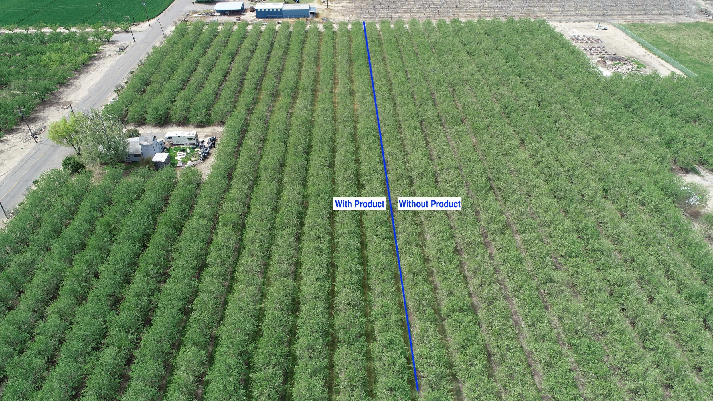
Aerial views of section fertilization easily shows the difference in vegetation growth from fertilized vs non fertilized. This level of change is not visible at ground level.

Feature 2
When vegetation / growth issues are indicated locally, an aerial view shows where each section is and the extent of the damage. A pattern of damage may even be determined when viewing from the air.
Feature 3
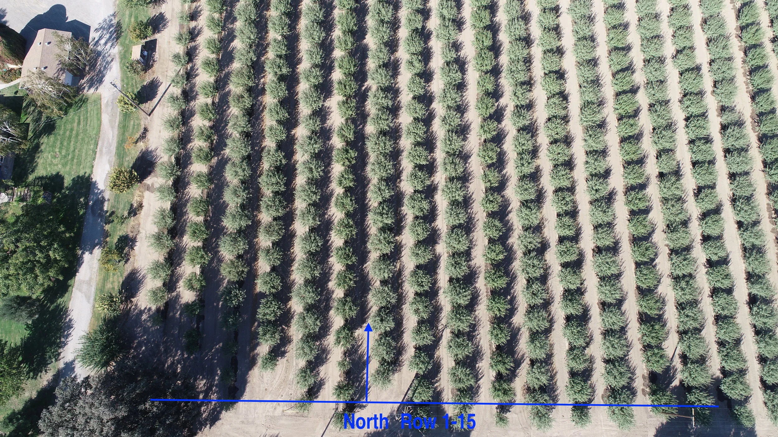
An aerial view allows for section and mark-up of blocks so that further investigation of the crop can be carried out.